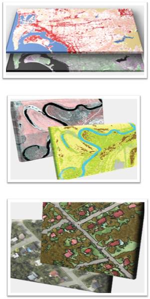

Remote Sensing
Capturing & Processing Remotely Sensed DataOur remotely sensed image processing facility is updated with latest technologies and is implemented by highly experienced and qualified staff. We are capable to utilize spatial, spectral and temporal properties of the remotely sensed images for spatial data generation to enhance the GIS activities.
-
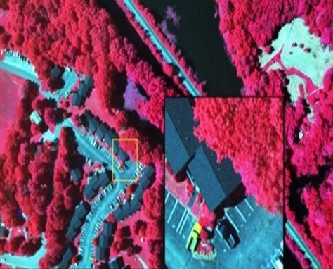
Image pre-processing
Well experienced in:
● Geometric, Radiometric and spatial calibration of images, which, allows trends in land-cover to be quantified automatically.
● Seamless Mosaicing of images. -
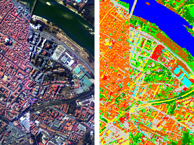
Image Classification
We offer accurate maps produced by diverse image classification techniques such as:
● Object Oriented
● Supervised
● Visual Interpretation. -
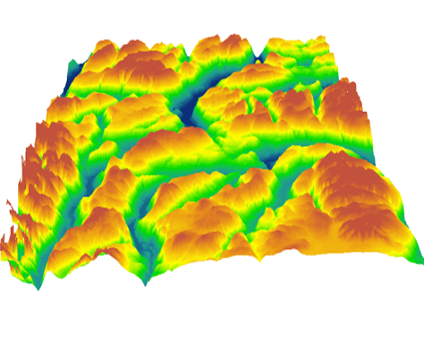
Digital Elevation Model (DEM)
We are experienced in DEM generation from very high resolution stereo images
-
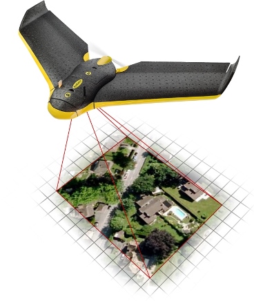
Image Capturing using UAV
Provides services and consultancy in using Unmanned Aerial Vehicles for Earth Surface Imaging and Observation.